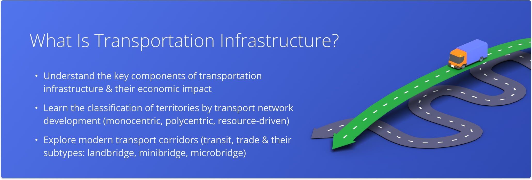
Transportation Infrastructure
Transportation infrastructure includes all the facilities required for transportation. These include:
- Communication paths – all paths along which the movement of vehicles is carried out;
- Infrastructure facilities where initial, final and intermediate operations with cargo between consecutive shipments take place (terminals, hubs, portals, warehouses, etc.);
- Auxiliary objects of transportation systems, providing energy supply, communications, etc.
The main properties of transportation infrastructure include:
- The development of transport infrastructure has a strong impact on the territories associated with it;
- Positive in terms of economy, but negative in environmental terms;
- High cost of creating transportation infrastructure. For the development of transport infrastructure money is allocated from the budgets of various levels, recently public-private partnership is increasingly developing, for example, in the construction of toll roads;
- Infrastructure projects require a long time to implement. This is due not only to technological peculiarities, but also to the time spent on all kinds of approvals of infrastructure projects.
Economic theory discusses that overexploitation (disruption of the road network, overgrazing of agricultural land, overfishing of the world’s oceans, overhunting of wildlife) of universal goods such as roads, forests, and bodies of water can occur because there is no or too low a market price for their use (The Tragedy of the Universals).
Classification of Territories in Terms of Transport Infrastructure Development
For the first time classification of territories from the point of view of development of transport networks was given by the German transport geographer I. Kohl. He distinguished the following types of transportation systems:
- Monocentric system, oriented inward to a certain territory. It is characterized by the presence of one large center and diverging transport diameters, which branch off in other large settlements;
- A system oriented to the outer boundaries of the territory, with good connections between large settlements and transportation hubs located near the borders of the region. Such a system can be called polycentric;
- An outward-looking system with poor connectivity between major settlements and transportation hubs located near the region’s borders. Such a system is created for the extraction and transportation of natural resources to the borders of the region;
- Transportation systems in which water communications are better developed than land communications. Such systems are characteristic of administrative entities located on archipelagos.
Transportation Corridors
In modern transportation systems, major freight flows through transport corridors and transportation hubs.
A transport corridor is (as defined by the World Bank) a set of transport and logistics infrastructure coordinated by national and international regional bodies to facilitate trade and transport flows between centers of economic activity and portals of international trade.
Transport corridors can combine different functions. Three main types can be distinguished.
Transit corridors, where all necessary measures are taken to maximize the efficient passage of freight traffic. In terms of transit functions distinguish:
- land connection of a port on one shore with a port on the other shore of the continent, where cargo is delivered and its maritime transportation continues – landbridge;
- land connection of a port on one coast with a destination on the other coast – minibridge;
- land connection of a port with a destination inland – microbridge.
Trade, in which all necessary measures are taken to facilitate trade between the regions that the transport corridor connects, e.g., tax, customs, administrative regimes, etc.
Last Updated:
About author: Alex Yasko
Alex Yasko is the Go-to-Market Product Manager and Information Architecture Manager at Route4Me. With thousands of hours of experience, Alex specializes in breaking down complex last-mile optimization and routing scenarios into simple, actionable instructions, helping last-mile businesses streamline their operations effortlessly.