Route4Me Address Territory Planning and Management
To help you make the most of your experience with Route4Me’s route mapping and last-mile optimization software, our routing experts have selected and answered the most frequently asked request for proposal (RFP) questions about Route4Me’s Address Territory Planning and Routing on this page. Hopefully, the answers we provide in this FAQ will help you better manage your customer locations, sales territories, address territories, service areas, etc. In case you can’t find the details you need regarding a specific question, please contact our Customer Success Team, and we’ll be more than happy to help you.
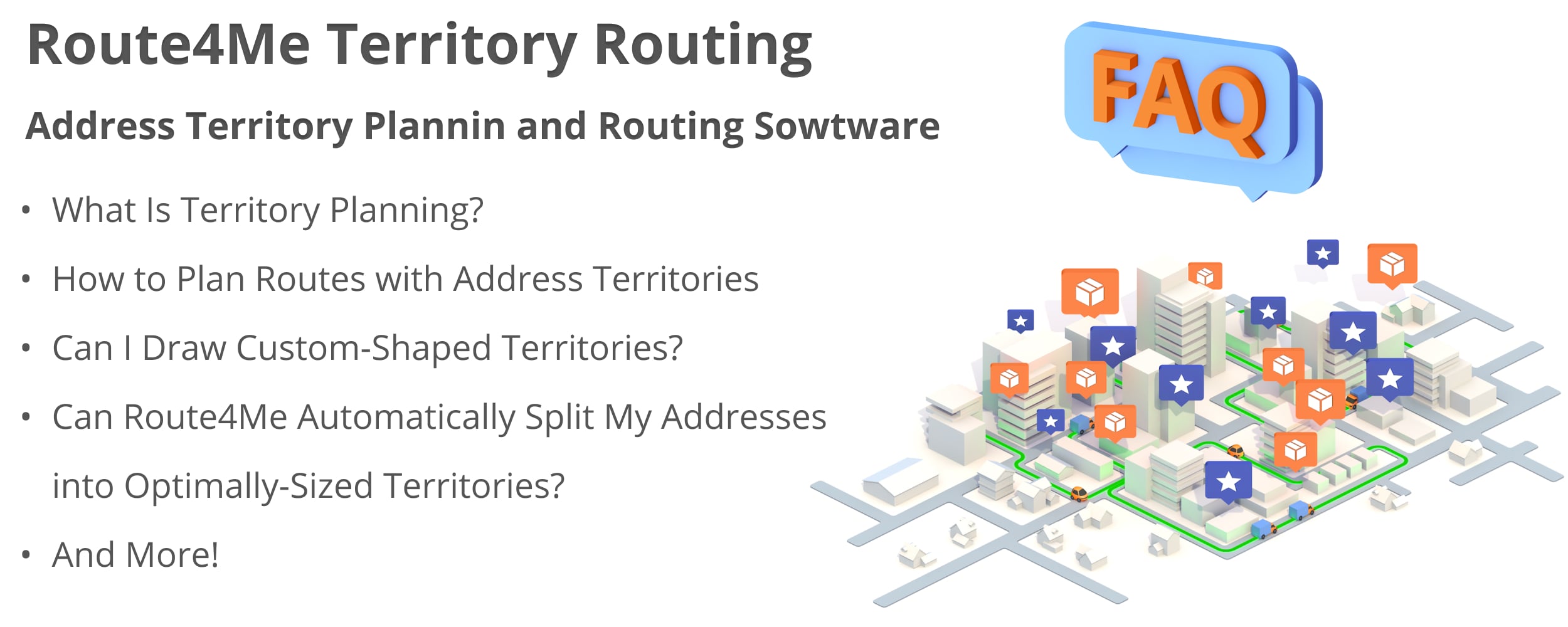
Frequently Asked Questions About Route4Me’s Address Territory Management Features
Territory planning is the process of splitting customer addresses into optimally sized and manageable sales, service, or delivery areas. In detail, address territory planning is a customer segmentation method that helps field service, last mile carriers, delivery, and field sales businesses divide customers’ addresses by such criteria as ZIP code, customer type, service type, delivery type, customer journey stage, etc.
In addition to creating territories, address territory planning also includes such processes as:
- Territory route scheduling and territory management
- Address territory assignment to outside sales reps, field sales reps, delivery drivers, etc.
- Territory route progress tracking
- Territory sales rep or delivery driver management
- And more!
Route4Me’s territory management and route planning software enables field sales, service, and last-mile delivery couriers to:
- Better balance address territories
- Prioritize customers
- Distribute team workload
- And more!
Read further to learn how to create and manage address territories with Route4Me.
To plan territories with Route4Me, all you need to do is draw a custom shape on the map around the addresses that you want to include into the new territory.
As you are drawing a new address territory on the map, Route4Me automatically displays the address count within the territory in the bottom left corner of the Address Book Map. After creating the desired custom territory shape, right-click on the area and select the “Store as New Territory” option from the menu.
Additionally, you have the possibility to customize your territories in multiple ways using various territory management and territory planning tools. For example, you can:
- Assign a different color to each territory for easier identification
- Set icon override for territory addresses
- Reshape your territories
- And more!
Next, you can use your new territories for planning routes, assigning drivers, field employees, or sales reps to different territories based on their skills, equipment, experience, etc. Learn more about territory routing further in this FAQ.
Route4Me enables you to create and store hundreds of thousands of custom-shaped address territories in any state, city, or county on the world’s map. All your territories are stored in your Route4Me account, where you and your team members can access and use them for multiple planning and routing purposes.
Additionally, when you store a large number of territories in your account, you can easily search through all of them using filters.
Route4Me’s territory management software enables you to import and store hundreds of thousands of addresses, locations, and contacts within your custom-shaped address territories. With this territory address limit, you can easily fit all your customers’ locations and then use them for planning optimal routes.
Furthermore, you can easily filter through all your territories and addresses within them using advanced filters. For example, you can use Route4Me’s Search Groups and assign territory names as IDs to the respective addresses, etc.
Territory-based route planning is the process of planning and optimizing last mile routes with the addresses, locations, orders, and contacts located within custom-shaped territories.
Route4Me supports multiple route optimization types for territory-based route planning. For example, you can plan a single route with all the addresses within a specific territory. Or you can let Route4Me to plan the most optimal number of routes with all addresses within the same territory. Additionally, you can use multi-depot routing so that each route within one or multiple territories will start from a different address. In contrast, Route4Me also allows you to plan single depot routes so that multiple routes from different territories will start from the same depot.
Yes, you can use Route4Me’s address territories for planning and optimizing the fastest and most cost-efficient last mile routes. Route4Me’s territory-based routing supports multiple territory route optimization types so that you can create perfect routes specifically for your business requirements.
Specifically, Route4Me’s territory route planner enables you to:
- Plan territory routes with optimization constraints, such as: route duration, route distance, revenue per route, number of stops per route, maximum number of pieces per route, maximum cubic volume per route, etc.
- Automatically and accurately calculate the number of drivers you actually need to efficiently cover a service area using Route4Me’s Multi-Driver Route Optimization
- Plan territory-based routes that account for customers’ time windows
- Create multiple routes that have the same start address using a single depot routing
- Plan multi-driver routes that start from different locations using multi depot routing
Yes, you can create territories that have overlapping borders on the map. Furthermore, overlapping territories can contain the same addresses.
Yes, Route4Me enables you to include the same addresses and locations into multiple territories simultaneously. Additionally, you can create sub-territories that can comprise certain addresses from your main territories. And, using the same feature, you can also generate master territories that can cover multiple address territories in a particular service area.
Yes, Route4Me’s proprietary AI-powered SmartZone Routing feature can automatically split and distribute your customer addresses and locations into the most efficient number of optionally shaped territories.
So, with Route4Me’s SmartZone Routing, you can:
- Let the system automatically divide your addresses into the most optimal number of Smart Address Zones (smart territories)
- Manually specify and generate a custom number of optimally-sized smart territories based on address number, territories number, etc.
- Automatically determine the most optimal number of routes within each smart territory
- Specify the number of routes to be planned within each generated smart territory
- And more!
Learn more about Route4Me’s Smart Zones algorithm.
Route4Me’s territory planning and route optimization software can be used by:
- Delivery
- Couriers
- Field service
- Field sales
- And any other logistics-intense business
Read further to learn about:
- Sales territory planning
- Delivery territory planning and routing
- Field service territory management and route planning
Yes, Route4Me’s territory management and route planning software supports sales territory planning. Specifically, Route4Me enables you to split your service area into smaller, easier-to-manage sales territories. You can draw custom-shaped sales territories right on the map or create territory zones based on County, ZIP code, customer types, sales types, streets, sales areas, etc.
Moreover, Route4Me can automatically rebalance your territories as you scale your business and your customer base increases. In detail, Route4Me’s territory planning capabilities are able to automatically calculate and suggest the most optimal way to rebalance your territories based on multiple criteria, such as address count, revenue, and more.
Alternatively, you can manually adjust the prospect count within territories and reshape or resize your territories to always keep them up to date and relevant for your sales reps.
Yes, Route4Me supports last mile delivery territory planning and routing. Namely, Route4Me enables delivery businesses and couriers to automatically generate the most optimally shaped and sized address territories. This helps dispatchers and route planners balance deliveries and split the workload equally among delivery drivers.
Equally important, Route4Me is capable of automatically planning the most optimal number of optimized delivery routes within each territory. Furthermore, each route can account for multiple optimization constraints, including:
- Customer availability and time windows
- Vehicle capacity in terms of the maximum number of pieces, cubic volume, and parcel weight supported by each delivery truck
- Order priority, customer priority, etc.
- And more!
Route4Me’s automatic territory management and route planning features are useful for food delivery, flower delivery, grocery delivery, etc.
Yes, Route4Me supports territory planning and routing for such field service businesses as pest control, pool cleaning, snow removal, home healthcare, and a lot more. In detail, Route4Me enables field service businesses to automatically or manually create service territories based on service type, customer type, location count, and more. Then, the created territories can be then assigned to field service technicians based on experience and skills required to service that specific service area.
Additionally, Route4Me’s service territory mapping software also supports skill-based territory routing. Specifically, you can easily match field service technicians with the right route based on such criteria as:
- Driver’s license
- Required special equipment
- Employment type (i.e., independent contractor, company driver, etc.)
- And a lot more!
Learn more about Route4Me’s Driver Skills Route Planning & Optimization.
Visit Route4Me's Marketplace to Check out Associated Modules:
- Operations
Custom Data Add-On
- Operations
Advanced Team Management Add-On
About author: Alex Yasko
Alex Yasko is the Go-to-Market Product Manager and Information Architecture Manager at Route4Me. With thousands of hours of experience, Alex specializes in breaking down complex last-mile optimization and routing scenarios into simple, actionable instructions, helping last-mile businesses streamline their operations effortlessly.