How To Map Multiple Locations For Efficient Last Mile Routing
Mapping multiple delivery locations manually is time-consuming and can lead to inefficiencies. To ensure drivers visit each stop in the most optimal order, you need to account for variables like customer time windows, vehicle capacity, traffic, and other routing constraints. Without route planning software, managing these factors at scale is nearly impossible. Route4Me, the most used route planning software in 2025, simplifies this process, helping you map multiple locations and generate optimized routes for efficient last mile routing. This guide shows you how.
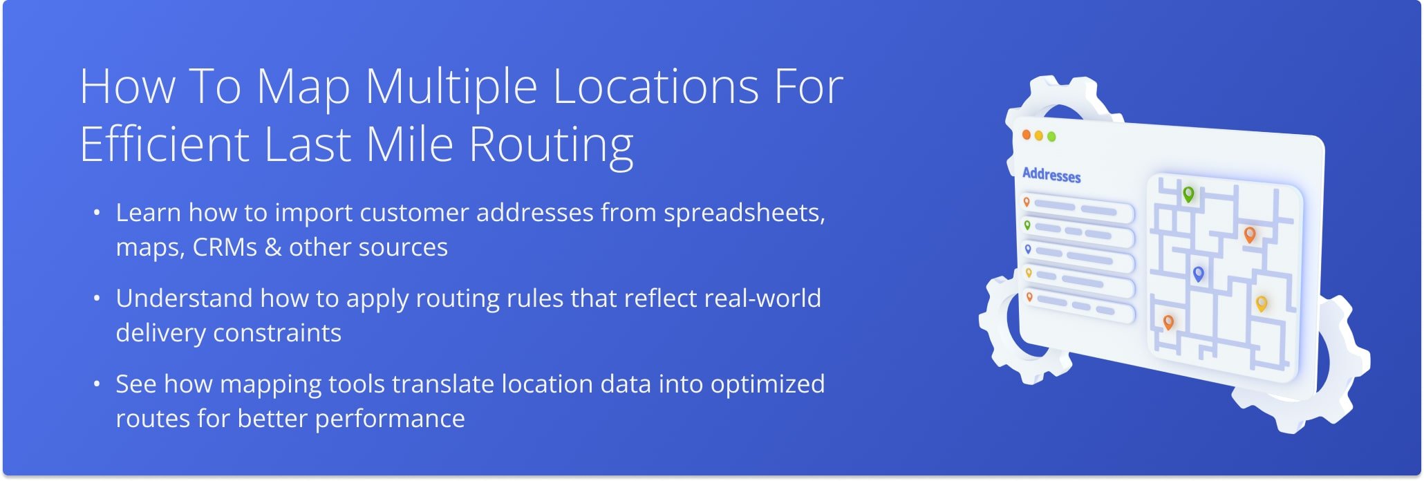
Table of Contents
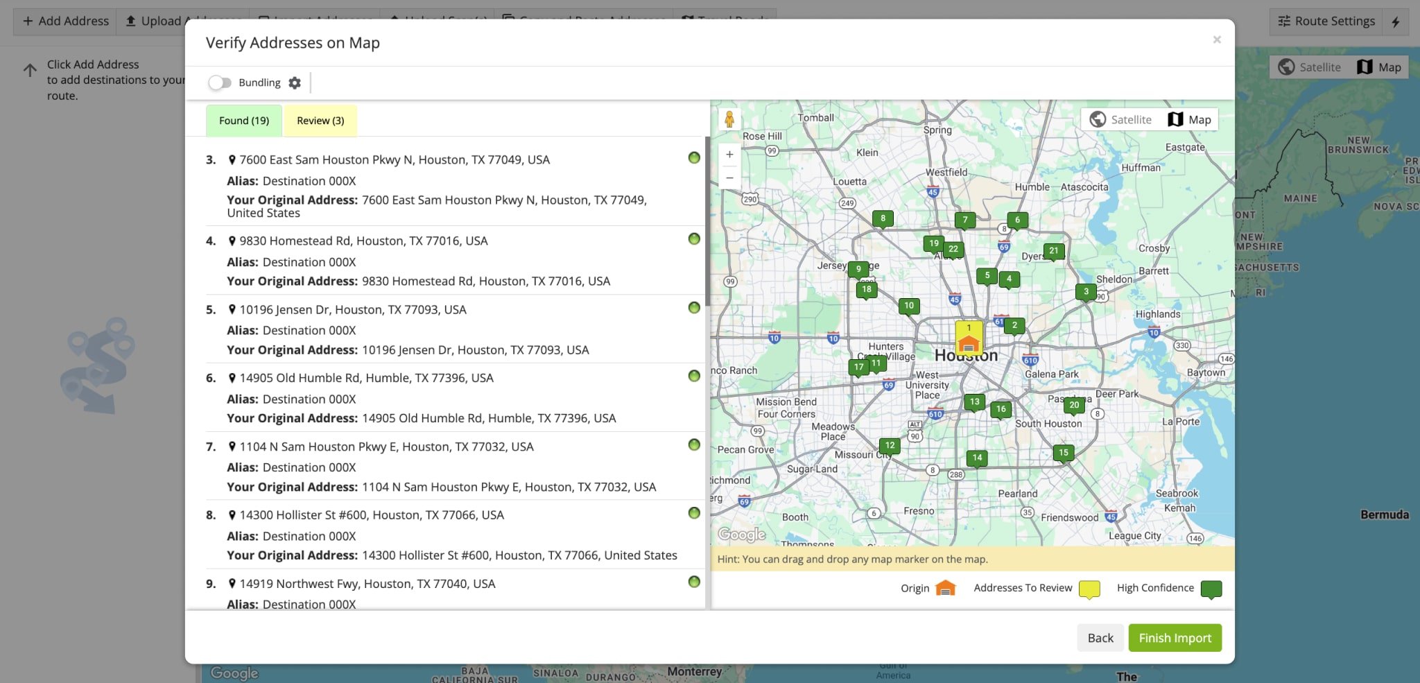
1. Import Delivery Addresses & Map Multiple Locations
Start by uploading spreadsheets with addresses or dropping pins on a map to mark route stops. The Route4Me multi-stop route planner also lets you import customer data from your devices, cloud storage, CRM system, or eCommerce platform, making it fast and easy to map multiple locations for delivery.
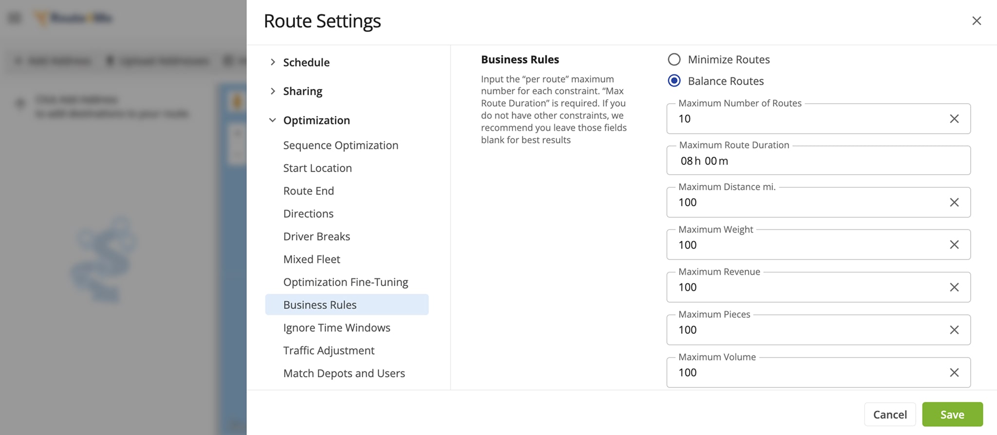
2. Set Route Parameters And Business Routing Rules
Next, define your routing constraints and business rules, including delivery time windows, fleet vehicle capacity, traffic jams, weather conditions, revenue per route, and more. Specify the number of drivers and routes you want to plan to ensure your routing results are tailored to your operational needs.
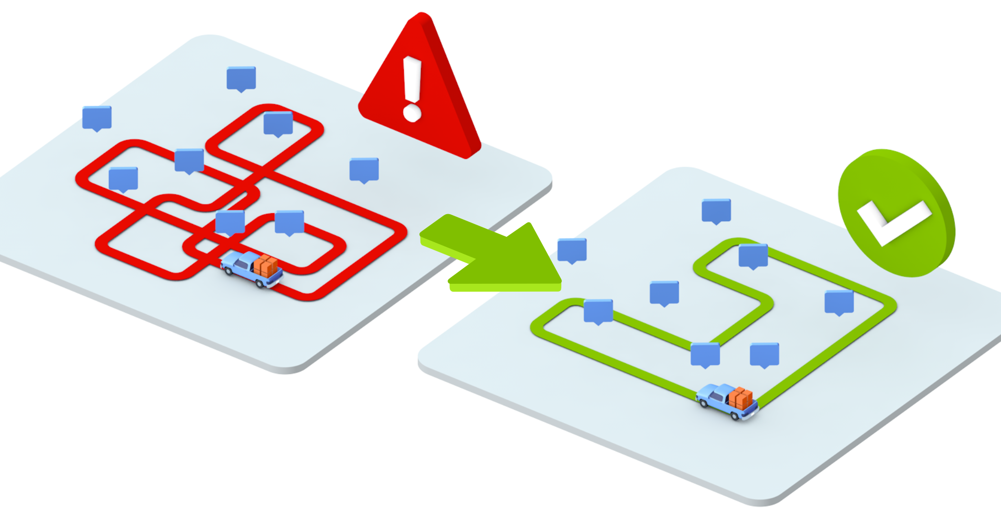
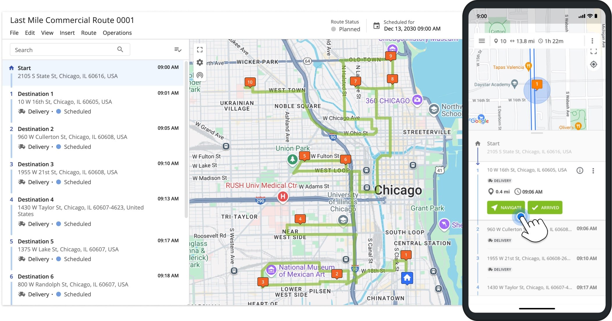
3. Sequence Driving Directions After Mapping Multiple Locations
Once your parameters are set, the route planner will sequence all mapped locations into optimized routes. Drivers get the most time- and cost-efficient order for their stops, reducing hours behind the wheel, fuel usage, and payroll expenses. Using software to map multiple locations and generate routes ensures planning that would take hours manually is completed in minutes.
4. Navigate Multi Stop Routes Using Mobile GPS Navigation
Finally, drivers can follow the planned multi-stop routes using in-app GPS navigation on iOS or Android. You can also export the routes to third-party navigation apps like Google Maps, Waze, or Apple Maps. But using the integrated route planner ensures you account for traffic jams, weather conditions, and other unpredictable obstacles to fully maximize your optimized routes.
Last Updated:
About author: Daniel Archer
With a background in pedagogy and writing instruction, Daniel is a former tenured English Instructor who, after nearly 20 years of teaching, transitioned into content strategy and leading writing teams for global brands. Now, as Technical Documentation Manager at Route4Me, he translates complex logistics technology into clear, accessible content that empowers users.