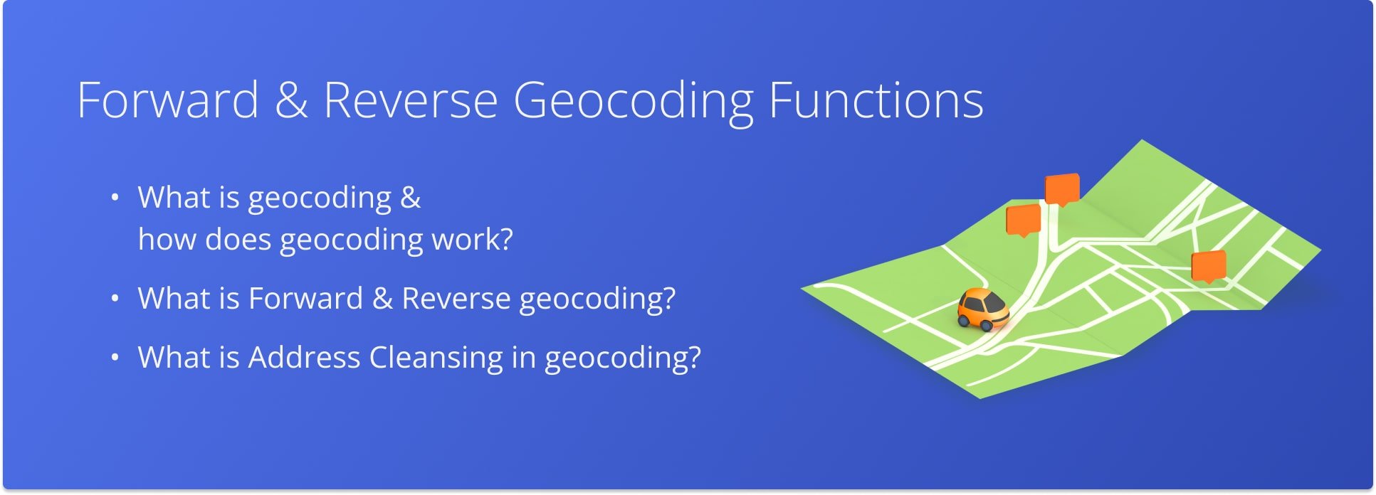
Forward And Reverse Geocoding Functions
Information is valuable when it can be applied to solve application problems. So everywhere you need to convert information from one format to another, making it more useful or understandable. In a nutshell, the process is simple – take raw data, apply certain algorithms or rules to it, and get new, processed data that is easier to use. In geoanalytics, geocoding (or geocoding) is an important transformation. This is the process by which addresses are converted to geographic coordinates (and vice versa, the address is determined from the given geographic coordinates).
When An Address Is More Than Just Text
Geocoding is used not only for visualizing data on a map, but also for data analysis, making it a sought-after tool for most GIS analysts.
The main tasks of both forward and reverse geocoding can be very often encountered. For example, you enter the desired address, and the map displays the point. Or vice versa you specify a point on the map and convert it into an understandable address. Thus, it is a straightforward task to obtain the coordinates of a geographic point by its address written in an understandable language. With this method, you can quickly find different types of locations. Through it, you can quickly find locations of different types, including landmarks or directory names such as mountains, bridges, and stores. Using addresses, you can spatially map their locations and recognize the structure of the information. This can be done by simply looking at the information or by using some analysis tools.
Reverse geocoding solves the inverse problem – using a point specified by the user to get its address or the name of the object located there. Both tasks are very common in various services that work with users’ geodata, for example, if you are developing an online store and want to show the nearest order delivery point to the user’s address, you can’t do without determining the exact coordinates of the user’s location. If you make a service of cab ordering or courier delivery – it may be convenient for the user to specify a point on the map, but for your courier it will still be more convenient to show the user’s address in the form of text in addition to the point on the map. Inverse geocoding optimization methods are close to the optimization methods for physical collision calculation mechanisms. A simple optimization is to first perform a simplified object search to reduce the number of candidates, and then perform the actual computation.
How Geocoding Works
- The process begins by entering a text address.
- The geocoder recognizes and analyzes the address, searches for it in the database and returns the coordinates corresponding to the address.
- If an address is entered incorrectly or not found, the geocoder may return an error or suggest nearby matches.
Address Cleansing
It is good if addresses are entered immediately without errors, or if the relevant mobile applications and websites have a service that, when the user enters an address, “prompts” the correct values for each component of the address.
In this case, finding an address in the database and correlating it with the coordinates is easy, and the geocoding will be accurate.
However, in most cases, addresses are entered with errors or non-obvious abbreviations. According to Experian’s data quality research, more than 32% of postal address data is inaccurate.
Therefore, frequent companions of geocoders are address recognition and cleansing services.
Last Updated:
About author: Alex Yasko
Alex Yasko is the Go-to-Market Product Manager and Information Architecture Manager at Route4Me. With thousands of hours of experience, Alex specializes in breaking down complex last-mile optimization and routing scenarios into simple, actionable instructions, helping last-mile businesses streamline their operations effortlessly.