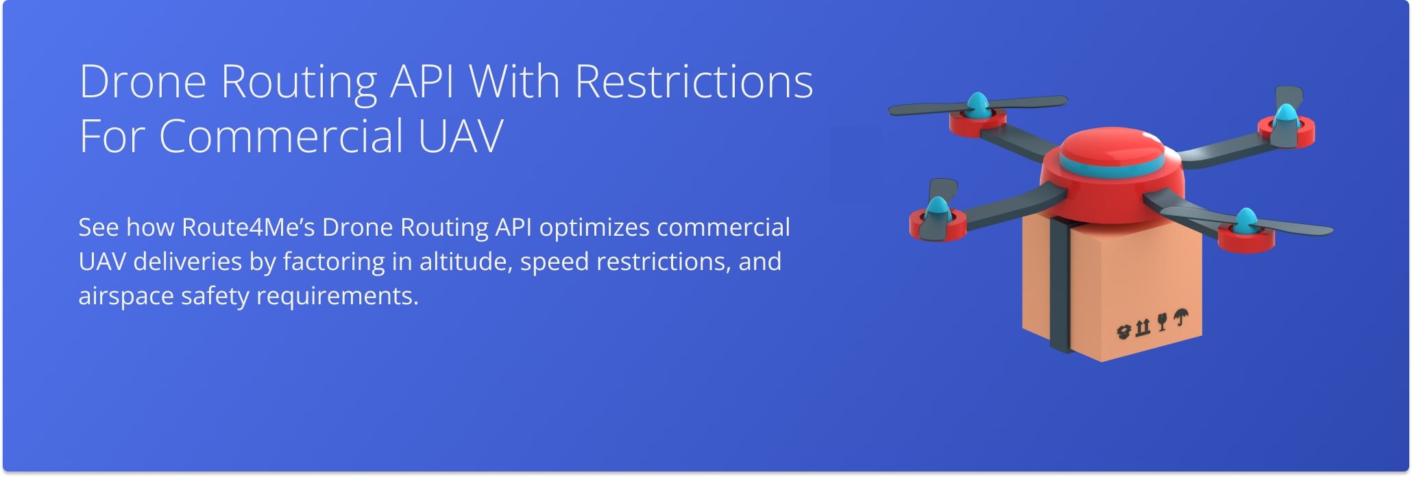
Drone Routing API With Restrictions For Commercial UAV (Unmanned Aerial Vehicle)
Route4Me’s Drone Routing API enables developers to plan and optimize drone (unmanned aerial vehicle/UAV) routes while factoring in altitude and speed limitations. It’s ideal for businesses using drone delivery in areas with height restrictions or airspace rules, ensuring safe, compliant flight paths.
Route Optimization Simulation – Drone Routing API (Altitude And Speed Constraints)
This simulation shows how the Drone Routing API plans multi-stop flight routes while considering altitude and speed limits.
The system creates paths that comply with all constraints, ensuring safe navigation without sacrificing route effectiveness.
Benefits Of Altitude- and Speed-Restricted Drone Routing
This API offers several key advantages:
- Ensures safe compliance with aviation rules by honoring altitude and speed limits
- Improves flight efficiency by balancing travel time and energy use within constraints
- Automates route synchronization for mixed-use airspace, reducing manual planning errors
Use Case – Route Planning with Altitude And Speed Restrictions
This is especially useful for:
- Delivery services operating in areas with regulated air corridors
- Utility and infrastructure teams conducting drone inspections near height-limited zones
- Aerial mapping or surveying operations requiring precision route planning under regulations
It enhances planning flexibility, safety, and operational efficiency in constrained drone environments.
Visit Route4Me's Marketplace to Check Out More Add-Ons and Modules:
- Route Optimization
Address Book and Territories Planning
- Operations
Custom Data Add-On
Last Updated:
About author: Daniel Archer
With a background in pedagogy and writing instruction, Daniel is a former tenured English Instructor who, after nearly 20 years of teaching, transitioned into content strategy and leading writing teams for global brands. Now, as Technical Documentation Manager at Route4Me, he translates complex logistics technology into clear, accessible content that empowers users.